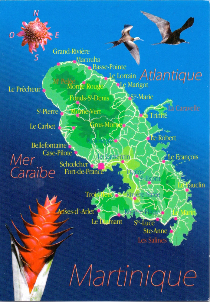
Martinique is a Caribbean island and an overseas region of France. And thus it is a part of the European Union, and its currency is the euro. It was discovered on 15 January 1502 by Christopher Columbus. Today its economy is heavily dependent on tourism. Its largest town and the capital is Fort-de-France, where this postcard was sent from. Fun facts: Martinique served as a home port for French pirates, and was the first coffee-growing area in the Western hemisphere.
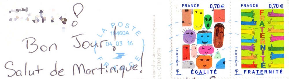
This postcard has “digital” postmark, which contains ROC (Référentiel des Organisations du Courrier, or Repository of Mail Organizations, used by French La Poste to identify distribution offices and mail processing centers) has number 19460A , which according to various sources I found online corresponds to the regular postal code 97200 of Fort-de-France.